

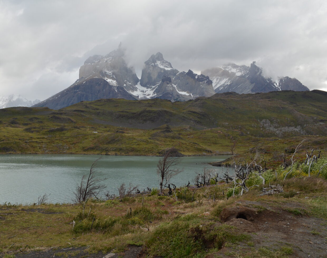
The Magallanes and Antarctic Region is the southernmost and largest (c. 132, 000 km2) region of Chile. The region is also the second least human-populated and comprises four provinces: Última Esperanza, Magallanes, Tierra del Fuego, and Antártica Chilena. Topographically this remote region is characterised by an archipelago of 100s of islands to the west and south, and with mountain peaks and glaciers including elements of the Patagonian Ice Sheet. Large expanses of water include Seno Última Esperanza, Eberhard Fjord and Lago Grey. Climatically it is a land of contrasting extremes with vast desert plains which forms part of the Patagonian steppe compared with the westernmost islands which are the wettest places in Chile; Guarello Island records up to 9 m of rain a year. Notably subpolar Nothofagus (southern beech) forests extend along the Andes and throughout the archipelago as far south as Cape Horn. Torres del Paine, one of 11 protected areas in the region, lies in a transition between the Magellanic subpolar forests and the Patagonian Steppe and hence encompasses most of the topographical elements of the Magallanes and Antarctic Region.
Endemic Taxa in Magallanes y la Antártica Chilena
- Abrotanella linearifolia A.Gray
- Abrotanella pupurea Swenson
- Abrotanella submarginata A.Gray
- Adesmia parviflora Clos
- Alopecurus heleochloides Hack.
- Anthoxanthum spicatum (Parodi) Veldkamp
- Apodasmia chilensis (Gay) B.G. Briggs & L.A.S. Johnson
- Asplenium obtusatum G. Forst. var. sphenoides (Kunze) C. Chr. ex Skottsb.
- Asplenium patagonicum R.A. Rodr. & R. Guzmán
- Atriplex chilensis Colla
- Austroblechnum leyboldtianum (Phil.) Gasper & V.A.O.Dittrich
- Baccharis mylodontis F.H.Hellwig
- Callitriche praetermissa Lansdown & Hassemer
- Carex darwinii var. serranoi (Phil.) Kük.
- Carex pisanoi G.A. Wheeler
- Carex toroensis G.A. Wheeler
- Carex transandina G.A. Wheeler
- Conyza gayana Phil.
- Galium araucanum Phil.
- Geum quellyon Sweet
- Hordeum brachyatherum Phil.
- Hymenophyllum cuneatum Kunze var. cuneatum
- Luzuriaga polyphylla (Hook.) J.F. Macbr.
- Madia chilensis (Nutt.) Reiche
- Nassauvia coronipappa Arroyo & Martic.
- Oxalis arenaria Bertero ex Colla
- Pseudognaphalium gayanum (J.Rémy) Anderb.
- Senecio mesembrynus Cabrera
- Sisyrinchium pearcei Phil.
- Sticherus litoralis (F.Phil.) Nakai